Picture Butte's Own Moisture Profile
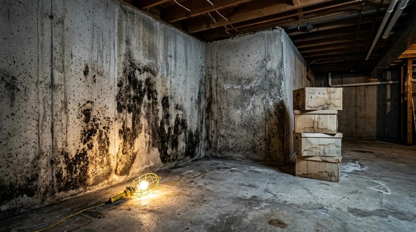
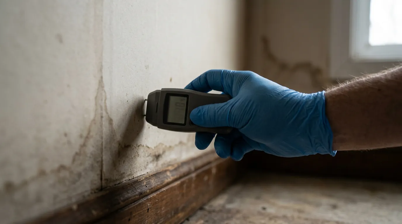
Picture Butte is one of the quiet agricultural towns north of Lethbridge — small, historic, and surrounded by the irrigated prairie that feeds it. Its housing is older on average than Lethbridge's, much of it from the settlement and sugar-era decades, and its lots sit on open prairie where the wind never really stops. That combination — early-twentieth-century construction, open-ground exposure, and irrigation-district water moving through the district around it — gives Picture Butte houses a specific moisture signature. The oldest homes carry basements and foundations that have answered every winter's melt-freeze cycle for generations, and their original drainage assumptions have usually expired quietly along the way. Open lots mean driving snow and wind-driven rain with almost nothing to slow it; we look at the windward side of Picture Butte houses first, because that is where Lethbridge's regional wind pattern does its work. Add private water and septic systems — standard here — whose utility rooms and crawl spaces become their own little moisture zones, and you have a moisture profile quite different from a Lethbridge city lot. The inspection approach adapts accordingly: same instruments, same documented report, but the checklist is written for this town, not for the city.