Coaldale's Own Moisture Profile
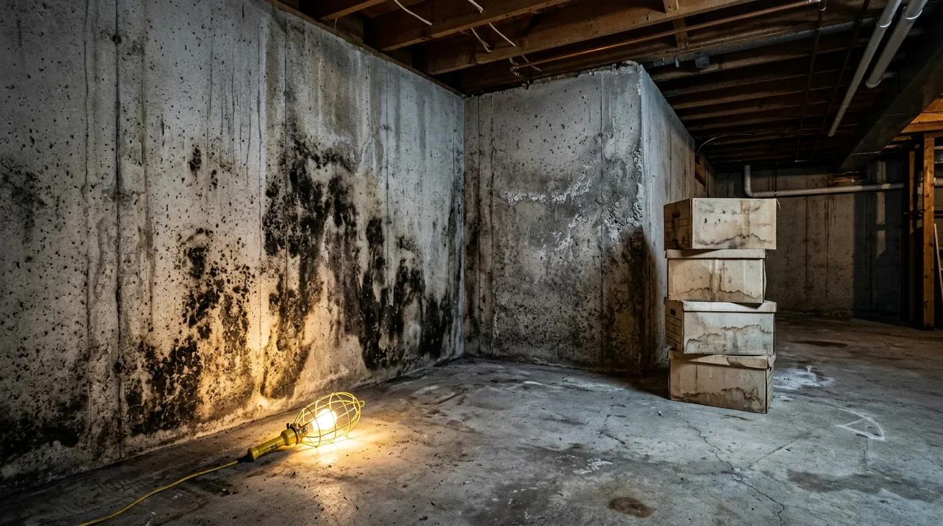
Fifteen minutes east of Lethbridge on the irrigation flats, Coaldale gets its weather and its water from the same place: the Lethbridge Northern Irrigation District grid that made the town a farm-service hub in the first place. That engineered wetness is great for crops and, in a quieter way, hard on basements. Many Coaldale lots sit inside the district's canal lattice, and housing ranges from early farm-town houses and mid-century builds to the newer subdivisions pushing toward the lake country to the north. The signature problems we find in Coaldale are the combination of flat terrain and engineered water: canal-adjacent lots with permanently damp subsoil, mature shelterbelts that shade and hold the north side of a house damp well into May, and seepage pressure that rises exactly when the district fills the canals each spring. Add the chinook melt-freeze cycles Coaldale shares with the city over the hill, and basement walls around town take more wet days in an average year than owners expect from a semi-arid climate. We treat those houses the same way we treat their Lethbridge cousins — instrumented inspection first, contained removal second, and a written moisture plan so the wall's wet cycle gets broken, not repainted.